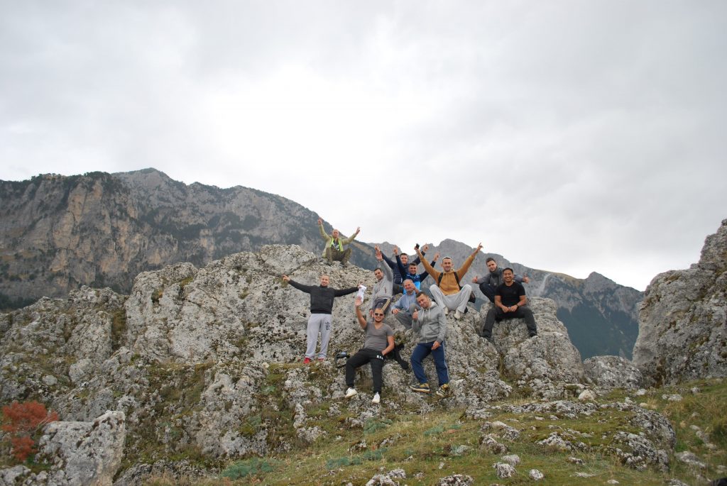
Hiking Tomorr Mountain – Northen Summit – Cuka Partizan 2416 meters
Tomorri is probably the best known mountain in Albania. It has religious significance, and there is a shrine on the (lower) south summit, also called Mali i Kurbanit or Mali i Babait. The south summit is separated from the higher north summit – called Cuka Partizan – by a 10 kilometer long ridge. The ridge is difficult and the best way to reach the Cuka Partizan is to climb it from the north side.
Mount Tomorri can be seen from far away, as long as the visibility is good and the summit is not shrouded in clouds.
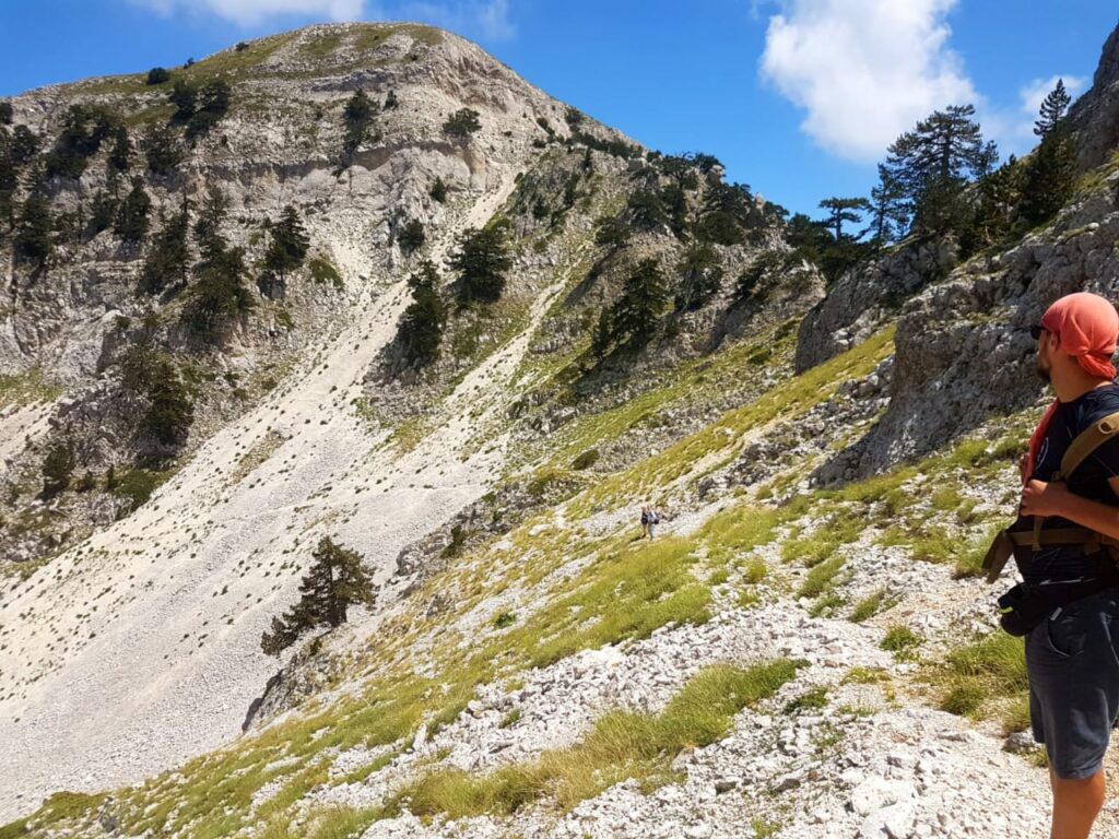
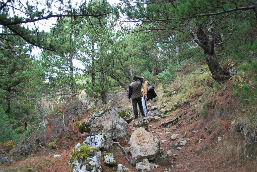
Many ambitious hikers may have wondered how to get to the summit. Not so the shepherds who seem to travel to the Cuka Partizan sometimes. There is a trail to the summit, but this is nevertheless a tough hike. The path crosses steep gravel slopes and often talus. Most importantly, more than 1450 Meter elevation gain have to be overcome from the trailhead.
At waypoint A, there is the option to reach (on the left) a higher “path” through steep gravel, while the indicated trail leads through more blocky terrain. Both paths meet again at waypoint B.
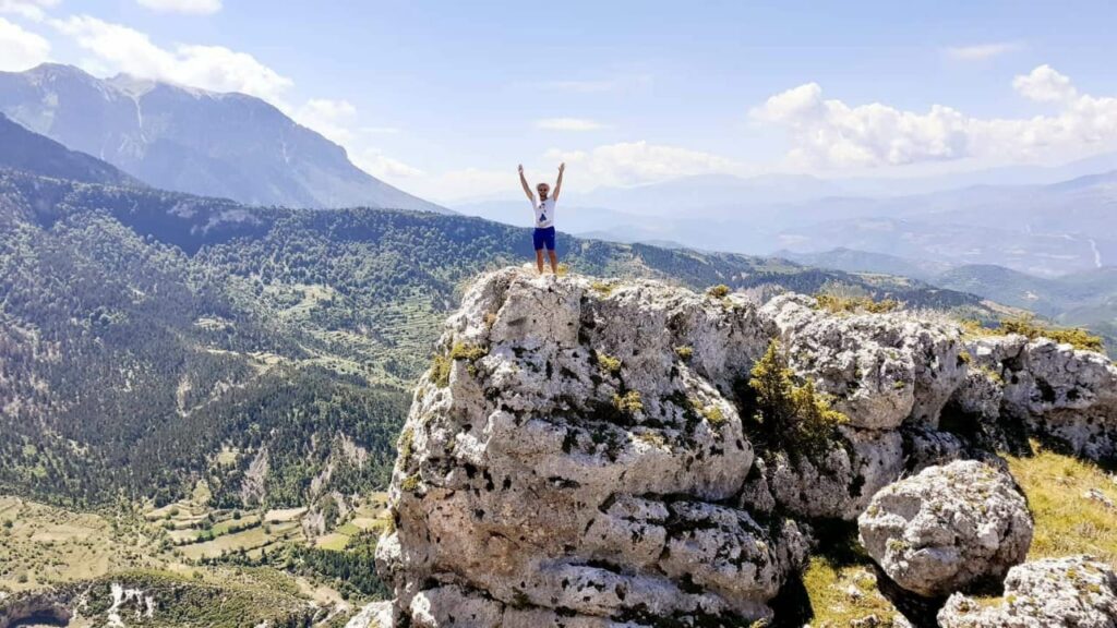
Cuka Partizan has two highpoints, which are close to each other. We went to both.
It might be possible, particularly on the return, to chose some shortcuts. While these may cut short the way, they may not save a lot of time – though they may avoid some herds of sheep and their dogs!
Transportation – 4×4 vehicle required from Berat to the village of Qafe Dardhe – Close to the village you will see a fountain . Leave the vehicle there and start your hike there
We can help you to arrange a local driver or a guided tour from Berat.
Accommodation available – lodge in a local house
+355696898232 info@beratcitytours.com
| Maximum altitude: | 2416 meter |
| Minimum altitude: | 1007 meter |
| Cumulative height: | 1449 meter |
| Cumulative length: | 8.07 kilometer one way |
| Difficulty | difficult |
| Time: | 5.5 hours up |
| Date of this record | September 2012 |
| Download GPS info: | Cuka Partizan – Tomorri Summit |

